

The art of doing goodl

Contact us at 00 354 566 7000 and order surveying

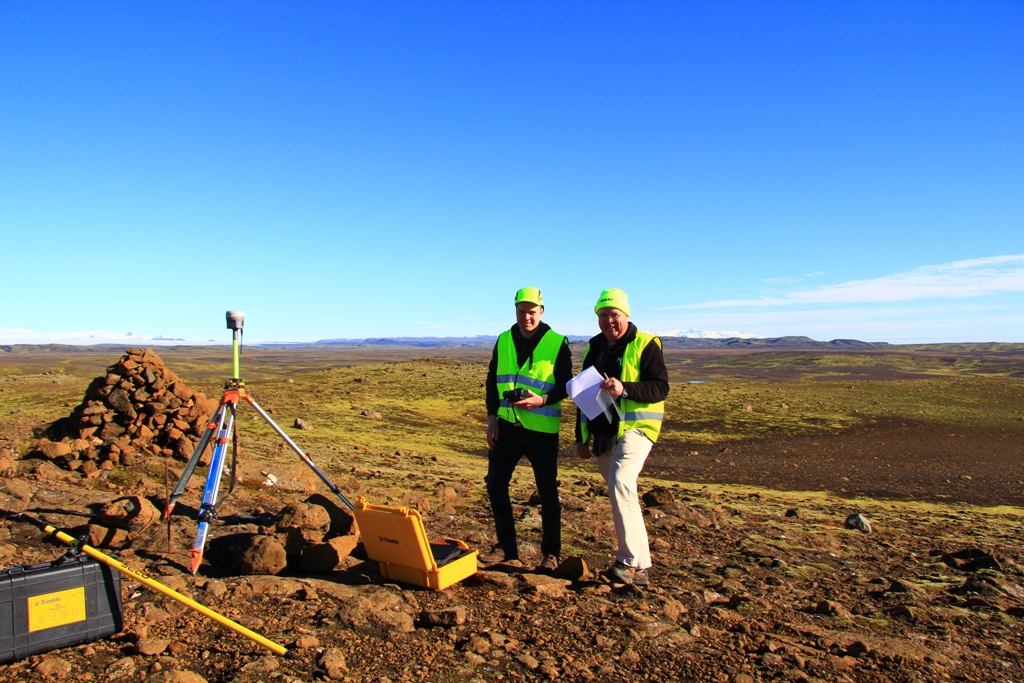
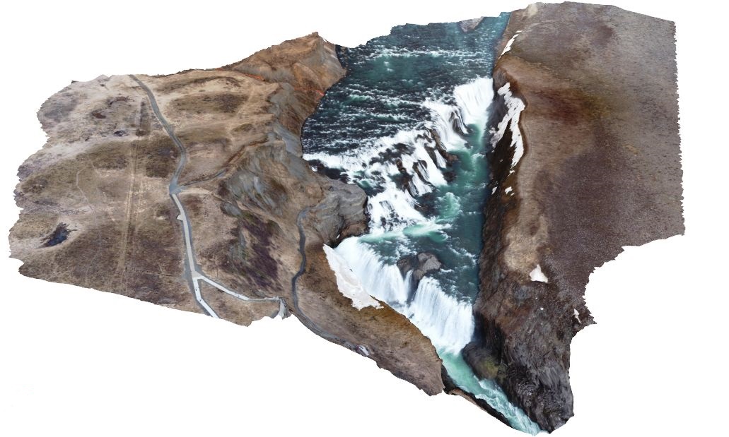
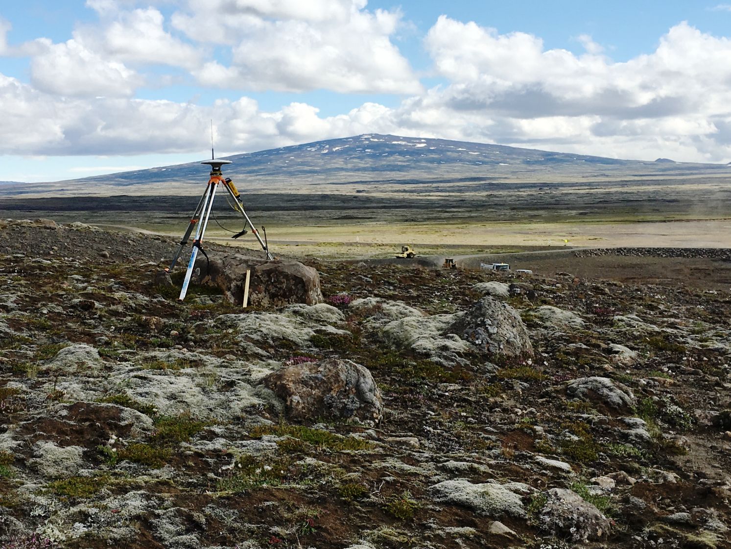
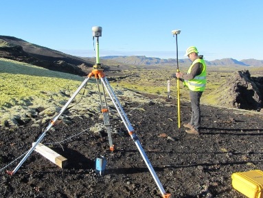
Mapping with drone and GNSS
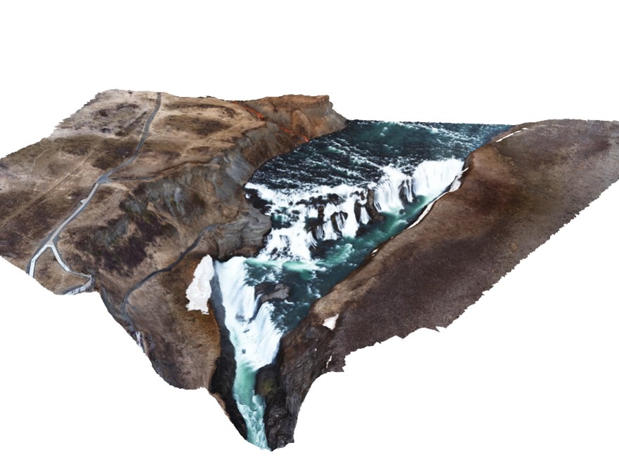
Gullfoss, Mai 2016
Mapping with drone and GNSS
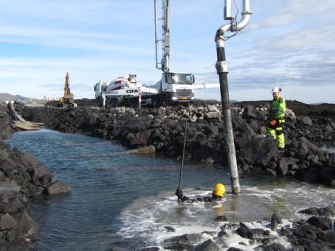
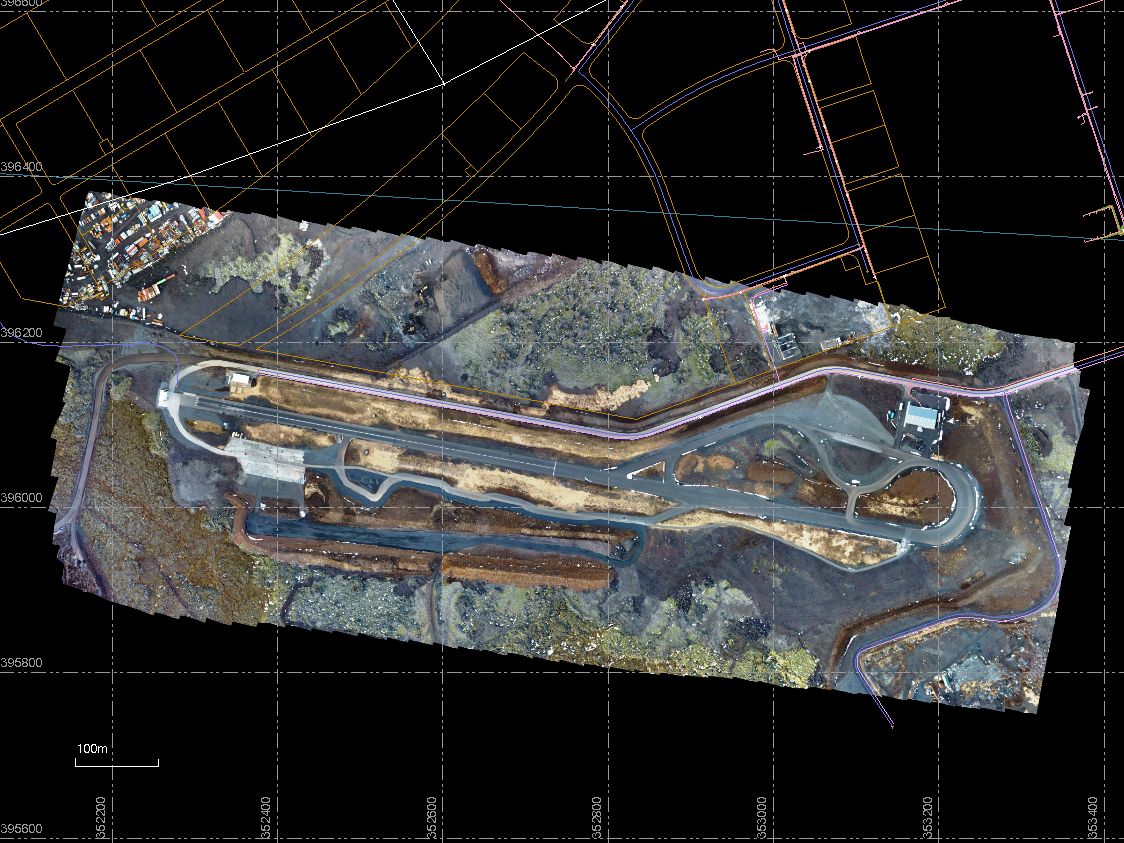
Kvartmílubrautin í Kapelluhrauni
"Mapping with drone and GNSS
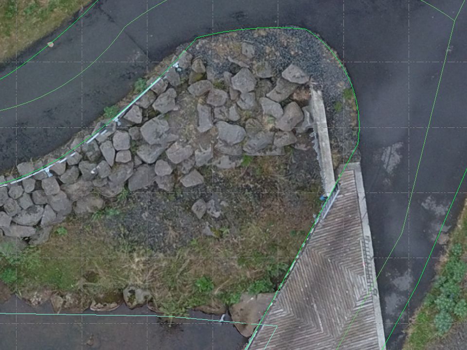
As built drawings
Mapping with drone and GNSS
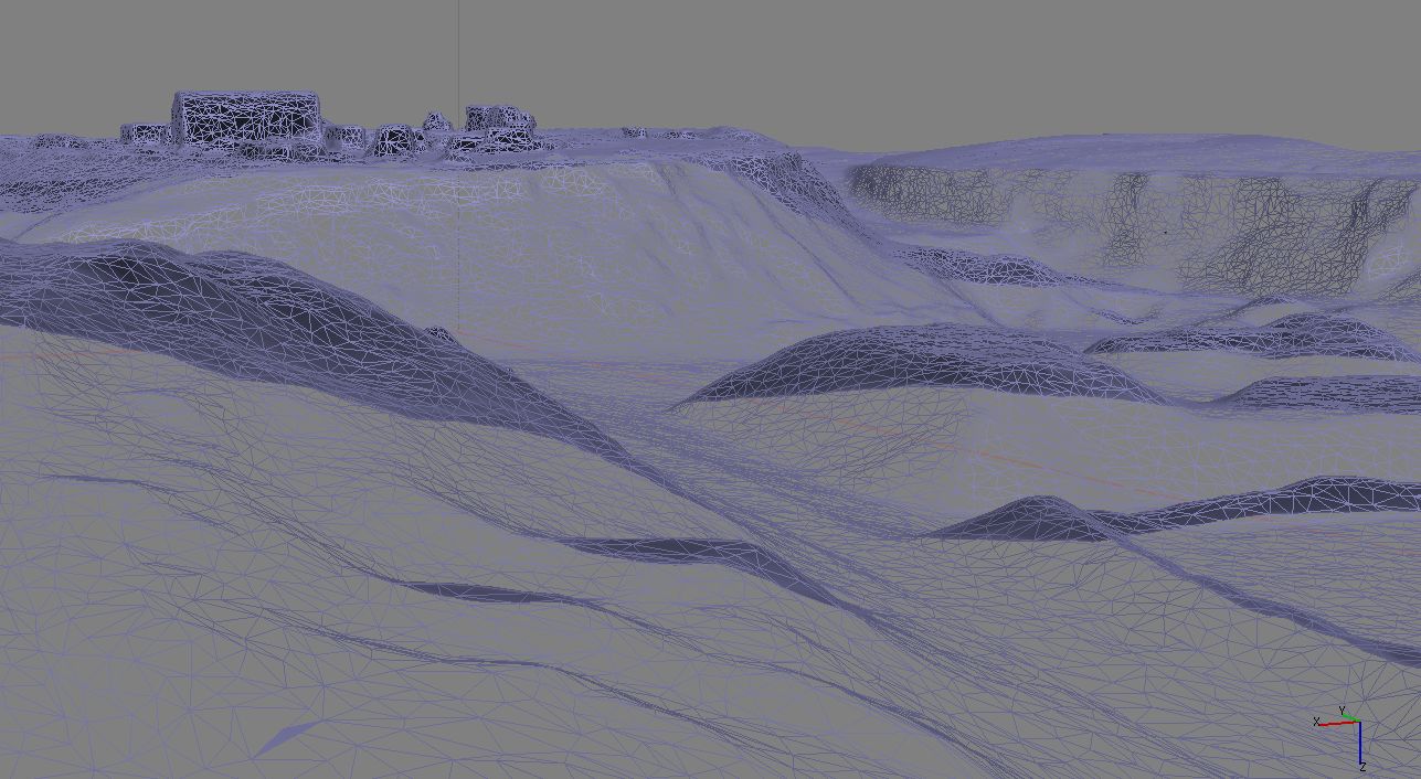
3D model as PDF of Gullfoss to use withe Acrobat Reader

Mapping with drone and GNSS
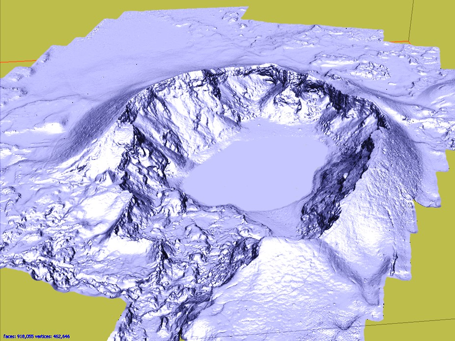
3D model of Litli laki

Mapping with drone and GNSS
Calculating quantity with 3D models

Mapping with drone and GNSS
3D model of Tjarnargígir in í Lakagígar
Mapping with drone and GNSS
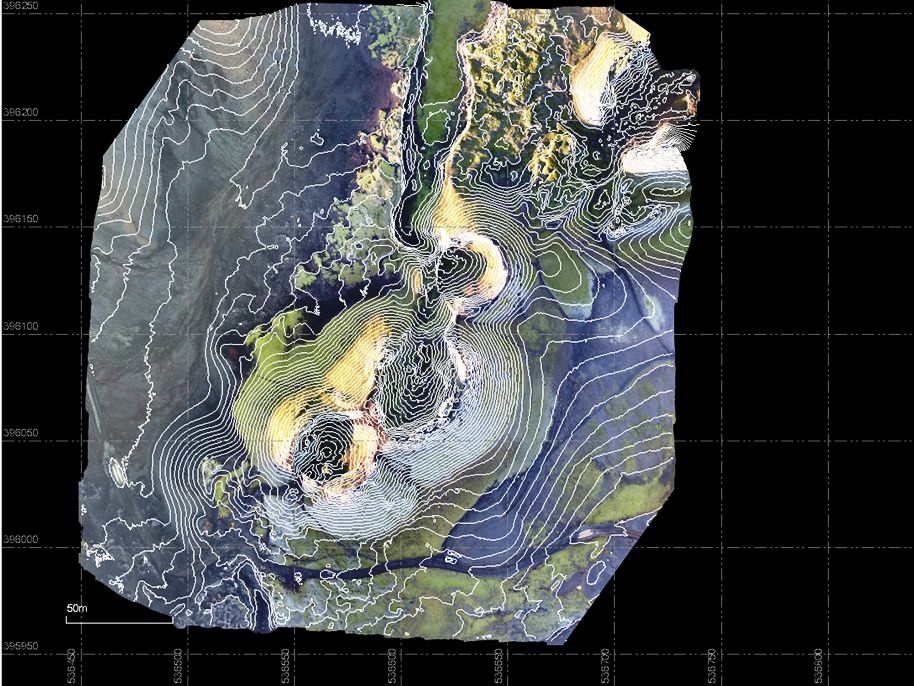
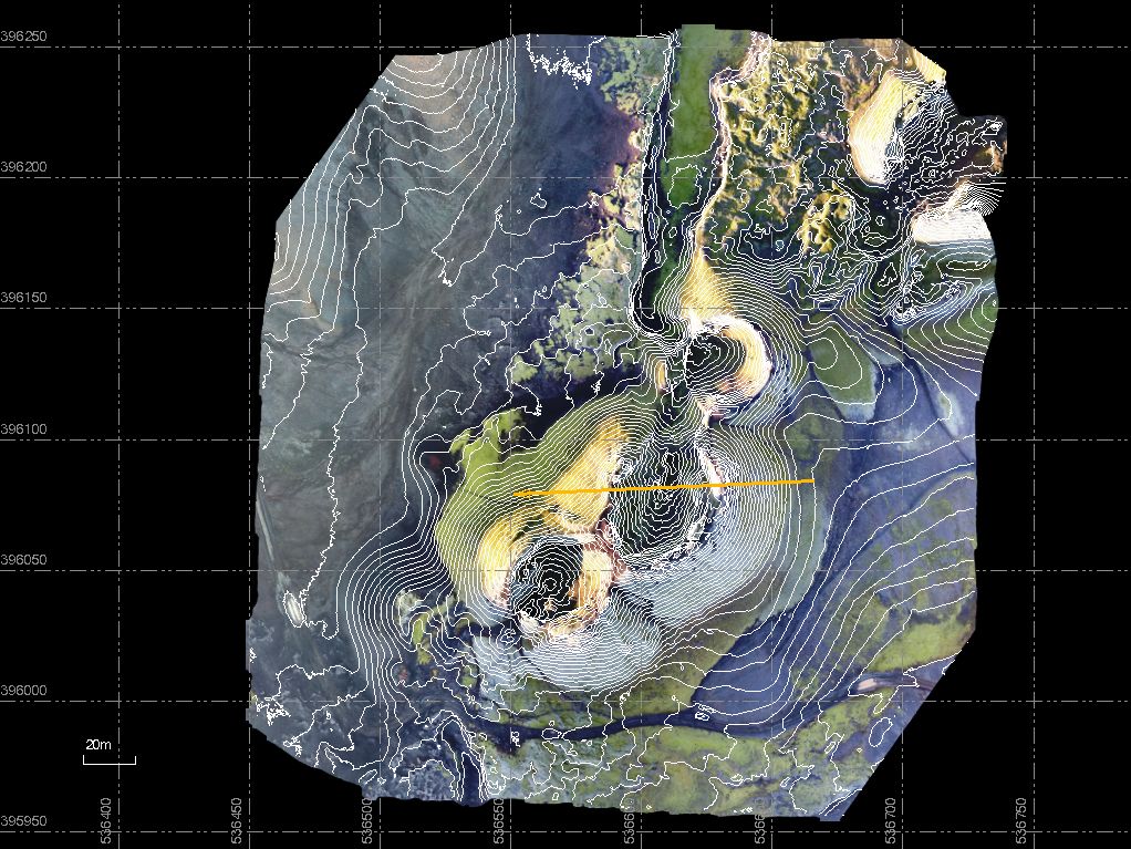
Contours and Geo-Tiff Images
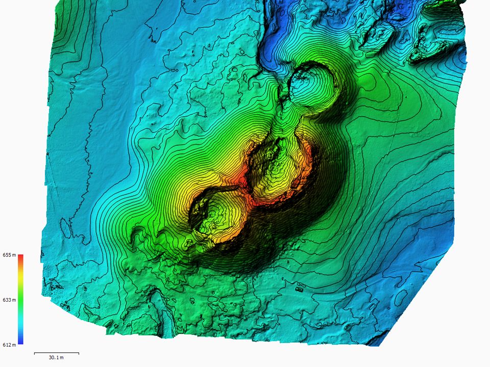
Contours
Contours in color
Mapping with drone and GNSS
Cut through the crater

Mapping with drone and GNSS
Cut through the crater
We deiver:
GeoTIF file
3D PDF file
Point Cloud on TXT,PTK or DXF file
Contours and 100 cm or 20 cm, DXF file
Contact us at 00 354 566 7000 and order Geo-TIFF image and attachments
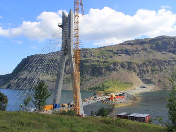
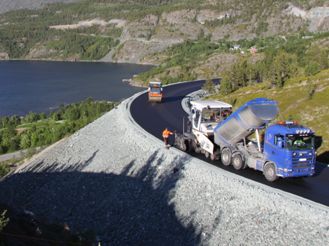
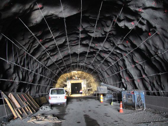
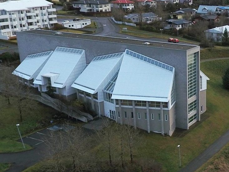
Our project
Some of our project