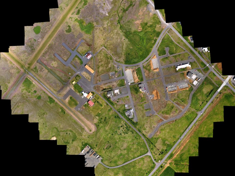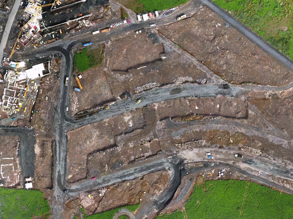
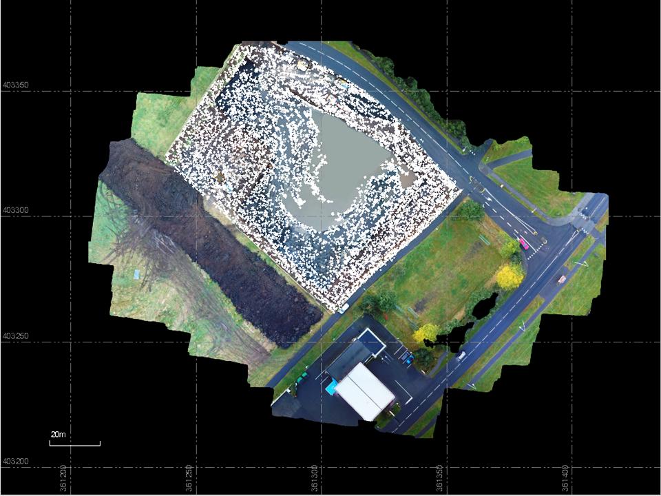
Mapping before earth work starts
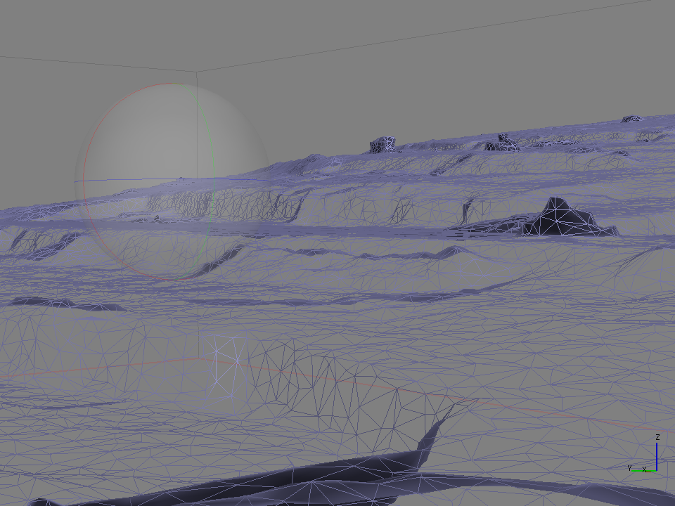
Creating Point Cloud

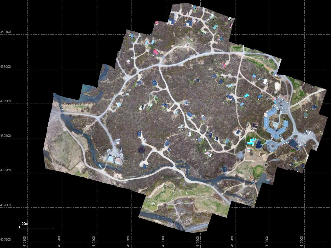
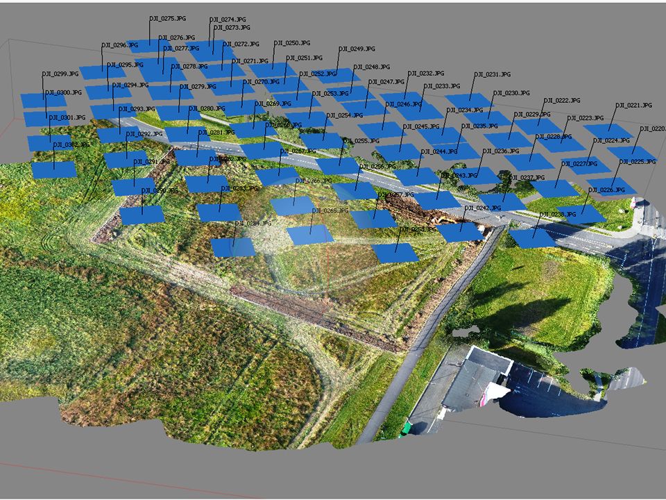
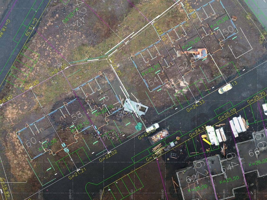
Mapping after earth work is finish
Creating Point Cloud

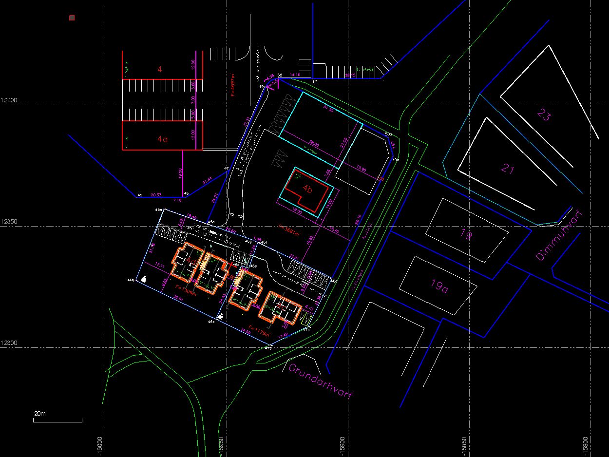
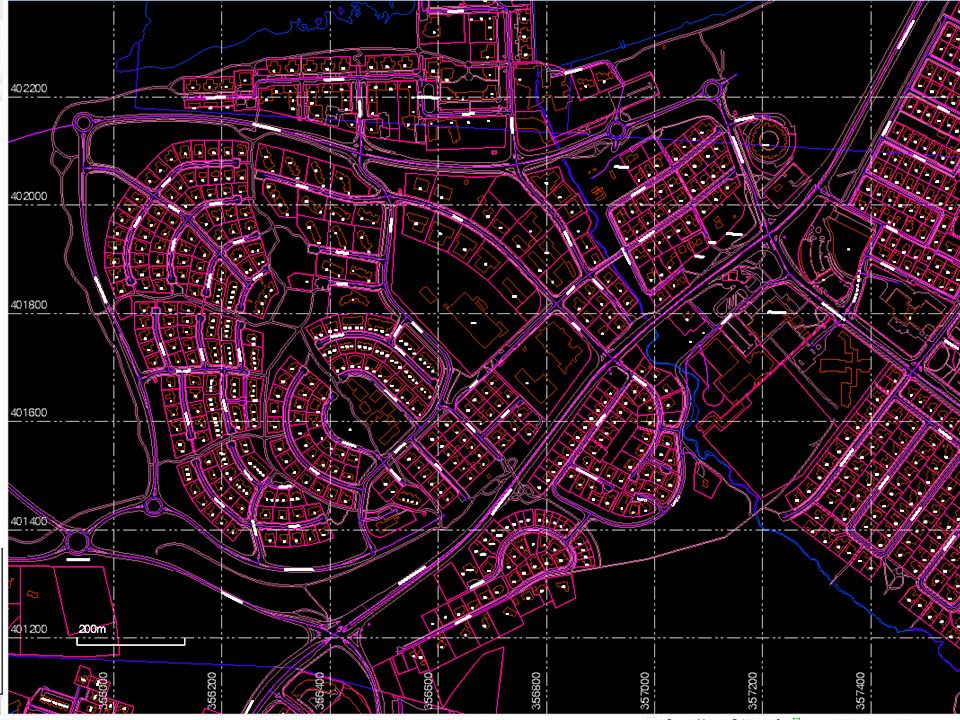
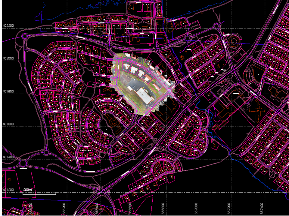
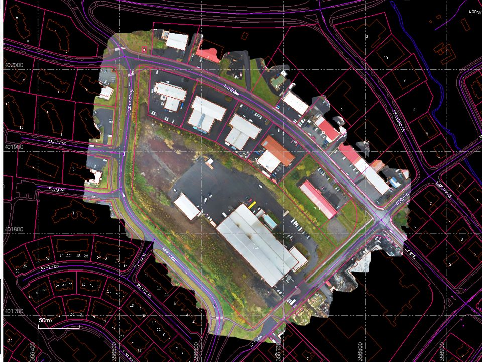
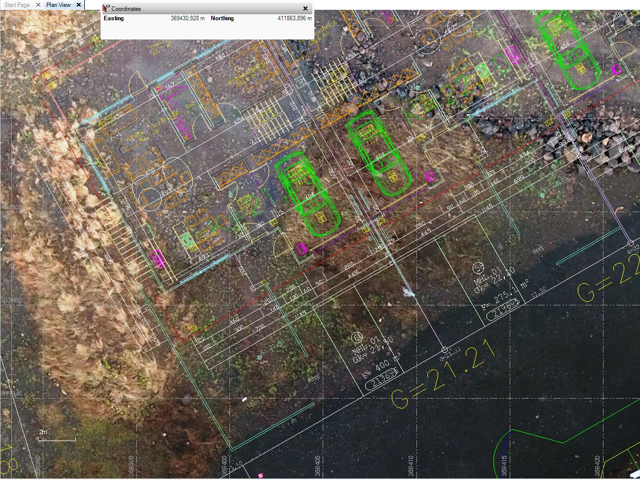
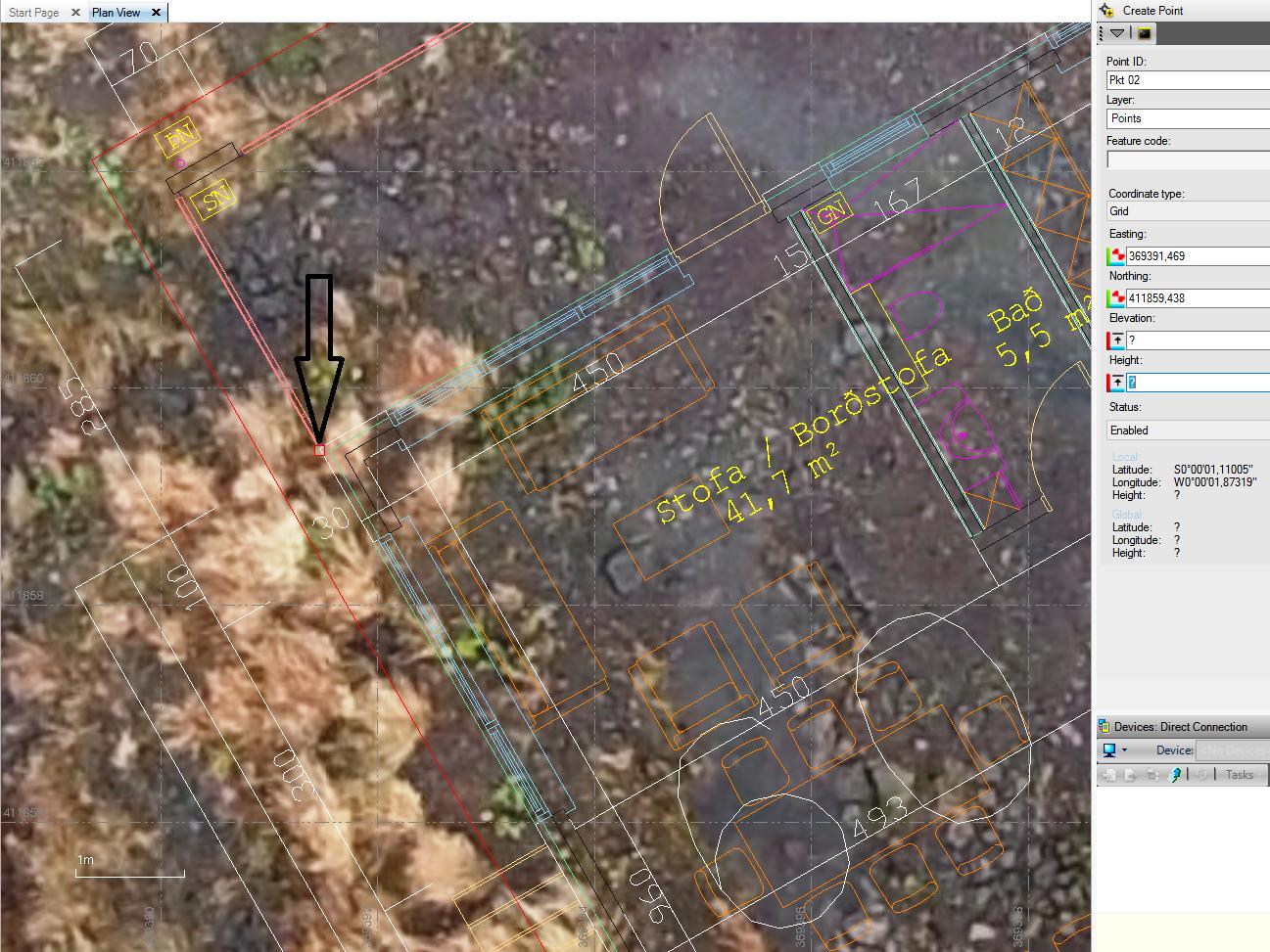
This job was started by making Geo-Reference TiFF Image of the area

This is the Point Cloud used of the original surface
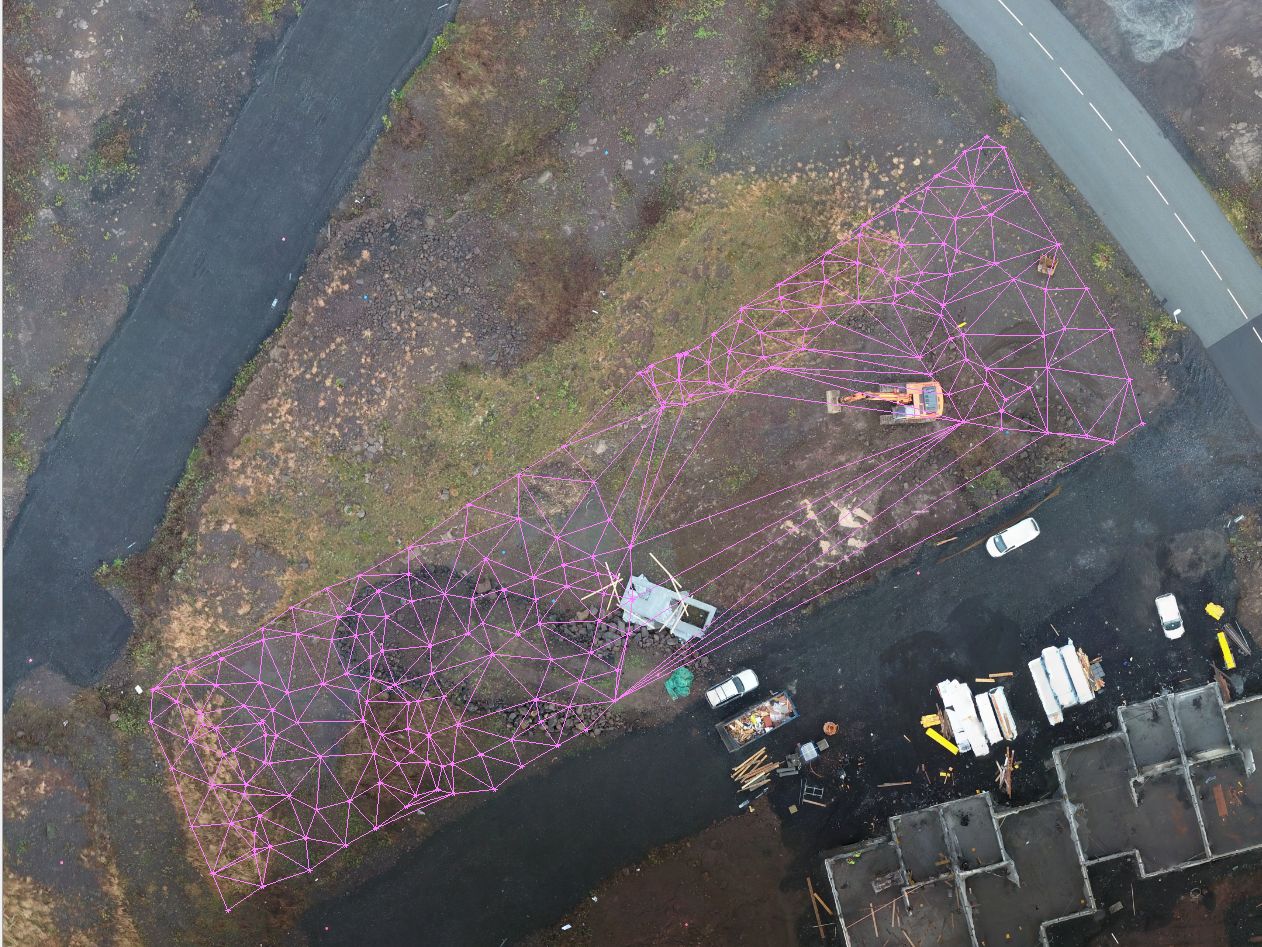
Points form traditional GNSS survey under excavation
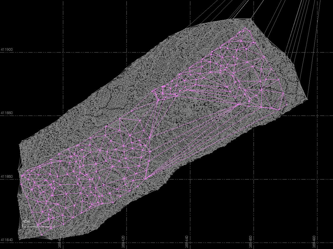
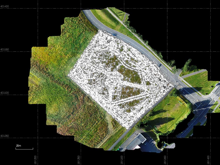
Here we see these to Point Cloud together
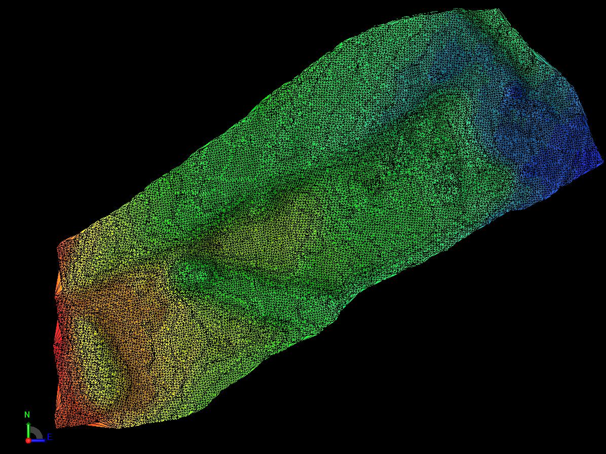
The New age, the Point Cloud from the Geo-TIFF file in colors .
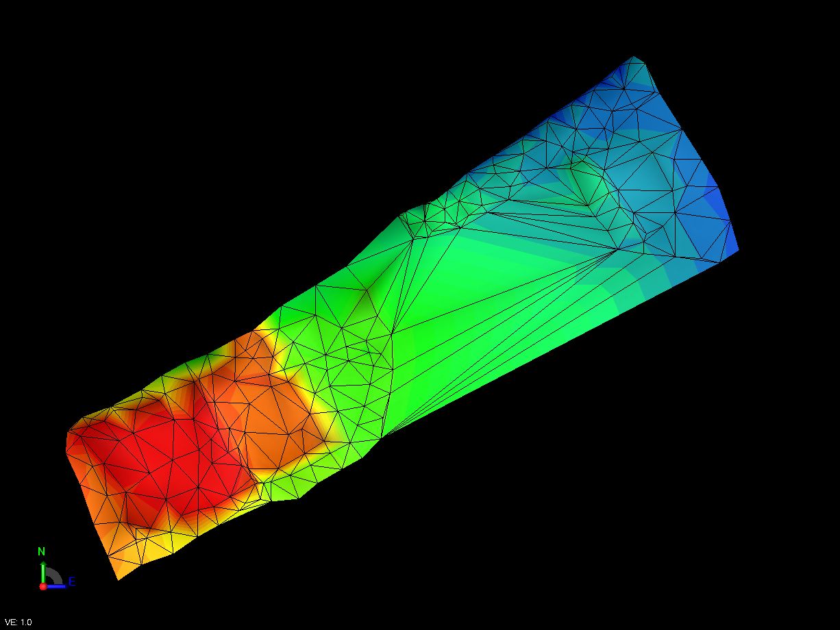
The old age, the Point Cloud from the traditional GNSS survey